Data Acquisition
Water Level Data Collection
DWR typically collects water levels from each well in the network on a quarterly basis. At each quarterly visit, a water level is collected from each well via a manual tapedown using an electronic water level indicator. Additionally, DWR personnel assess the condition of each well site and perform brush clearing and other light maintenance at these visits. More labor-intensive site and well maintenance is scheduled for later dates. Our Drought Indicator Wells network (a subset of the full network) can be measured monthly to keep pace with shallow groundwater storage conditions.DWR also has 617 wells that have either Onset HOBO, or Solinst automatic water level data recorders installed on them.
 These devices collect water level data at hourly intervals. At each quarterly visit, DWR personnel download the data and install fresh batteries if necessary. Back at the office, daily water level data is extracted for each well and added to the DWR water level database. The original hourly data files are archived for future reference.
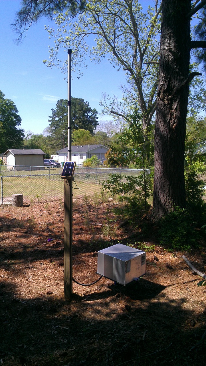
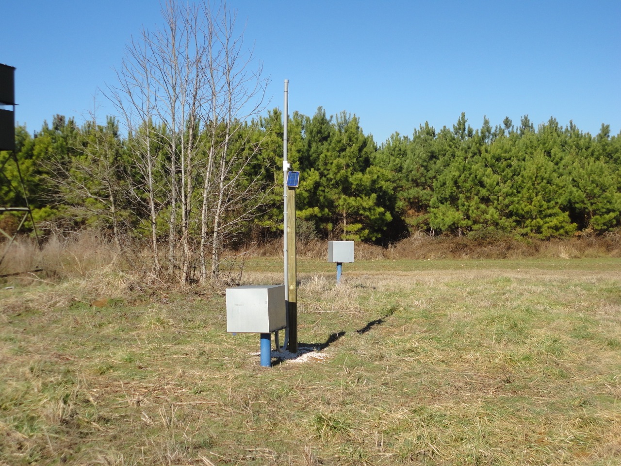
Our newest instrumentation is a cell phone telemetry based automatic recorder manufactured by Solinst. These units are stationed on wells and report water levels remotely so that manual retrieval is not necessary. DWR has installed this platform at 13 sites and has plans for 3 additional sites which will help maintain the Drought Indicator Wells web page with the most current groundwater levels.
Chloride Sampling
One important component of monitoring Coastal Plain aquifers is assessing whether salty groundwater is migrating. Regular sampling of a network of suspect wells for chloride concentration allows hydrogeologists to gauge whether salt water encroachment, either vertical (upconing) or horizontal (intrusion), is occurring.Groundwater Quality Data Collection
Several years ago, DWR initiated a statewide ambient groundwater quality monitoring program to sample wells in the state-owned groundwater monitoring network. With 698 wells at 239 locations, this is a long-term project. The initial goal is to sample all wells within the state-owned network to obtain background levels for groundwater constituents throughout the state. Once this goal is accomplished, surficial aquifer and first confined aquifer wells will be resampled every 1-2 years, and deeper aquifer wells will be resampled every 5-10 years. During each sampling event, samples are collected after a minimum of three well volumes are purged with either a peristaltic or submersible pump and field parameters (temperature, pH, specific conductivity, etc.) are stable for at least 15 minutes. Routine lab analyses include metals (total and dissolved), nutrients, major anions, microbiology parameters, volatile organic compounds (VOCs), semi-volatile organic compounds (SVOCs), pesticides, and more recently, per- and polyfluoroalkyl substances (PFAS). Data is available for download or viewing here or through our groundwater quality mapping interface.Video Logging
One of the challenges of maintaining a monitoring well network is assessing problems in wells that can be located from a few feet to over a thousand feet below land surface. For these circumstances, DWR possesses a GeoVision Micro M2 downhole video camera capable of capturing real time video images of wells at depths exceeding one thousand feet. This tool has proven itself invaluable as we have initiated an aggressive program of well maintenance and rehabilitation over the last several years. Many of our monitoring wells are located in locations that make them prone to vandalism. Examples of items we have found in our wells include:- Logs, sticks, leaves and other organic debris
- Dead animals
- Rocks
- Pens and pencils
- Almost anything else you can imagine that is small enough to fit in a well